As printed on the site
South on the Parkway
From the north, the directions page said to take the Garden State Parkway south. The Parkway ends at Cape May. The road becomes Route 109 south just before the Cape May bridge. Across the bridge, the street is Lafayette Street.
Those four steps are the whole northern approach the site printed. They do not include miles, minutes, or a traffic report.
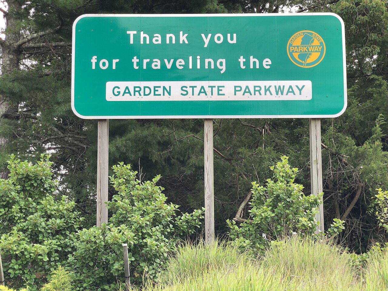
The Parkway until it ends
The page names New Jersey’s Garden State Parkway and the direction south. It does not name an exit number for Cape May, because on this account the Parkway ends there. A driver who is looking for a “Cape May exit” in the usual sense will not find that phrase on the page. The instruction is to stay south until the road itself runs out at the town.
Where a driver enters the Parkway is outside the text. The page says “from points north.” It does not list Newark, Trenton, Atlantic City, or any other starting town. A person already in New Jersey, north of Cape May, is the reader the heading describes. The page does not draw the Parkway. It assumes the driver can get onto it and then follow it south. Towns north of Cape May are all “points north” on this heading. The page does not split them.
The directions page prints the same four steps. This article stays on the northern half. The southern approach, from the Delaware Memorial Bridge, is a different paragraph and a different page on this site.
Route 109, just before the bridge
The change of name is specific. The Parkway ends, and the road becomes Route 109 south just before the Cape May bridge. The page does not describe a turn. It describes the same roadway taking a new number. A driver who leaves the road at the first sign of Cape May, before that change, has departed from the printed line.
“Just before” is the page’s placement of the rename. There is no cross street named at the point of the change. There is no landmark other than the bridge that comes next. The bridge is the Cape May bridge. The page does not give it another name, and it does not say how long the bridge is.
The home page summarizes this sequence and points here for the full wording. It also says the roads are not a live traffic report. A closure, a new ramp, or a renamed approach after the page was written would not appear in this text. The text is the site’s directions, dated by the capture, not a dispatch.
Across the bridge, Lafayette Street
Drive across the bridge and the street is Lafayette Street. That is the end of the northern directions. The page does not say to turn left or right at the foot of the bridge. It identifies the street the driver is on.
Lafayette Street is not described as the address of the association, and the about page never printed a street address at all. The hotline, separately, refused to give locations of member houses. So Lafayette Street is where this approach lands. It is not a pin for The Abbey or the Queen Victoria or any other name on the 2002 list. Those names are collected on the 2002 name page, still without addresses.
A traveler who has reached Lafayette Street has finished the directions the site was willing to print. Finding a particular house was, in the site’s own system, a matter for the hotline and then for the accommodation’s own telephone, and even the hotline was not supposed to give the location. A driver on Lafayette Street has the town the directions named, and still none of the member addresses.
What the northern paragraph leaves out
No driving time. No toll amount. No note about summer traffic. No instruction for a driver who is towing something the bridge might restrict. No parking. The page is a chain of road names, and the chain is short on purpose. Adding a usual travel time from a northern New Jersey point would be a new fact.
The paragraph also does not mention the hotline number. The number lives on the hotline page and on the old homepage. Reaching Lafayette Street does not, by itself, answer whether any historic accommodation has a room in the next ten days. The call is (609) 884-0080, inside the hours the hotline page printed, and the answer is names and numbers only.
The before-1910 rule does not appear in the directions either. The houses the association accepted were old. The road it printed is a modern approach. The site never claimed the Parkway was part of the nineteenth-century town. It claimed this was how to drive there from the north. The 2006 homepage’s “click to find availability” is a different control, and its target is not in the archive.
Where the southern route joins this one
The directions page tells a driver from the south to come over the Delaware Memorial Bridge, follow Route 49, Route 55, and Route 47, with a short stretch of Route 347, and then take the Garden State Parkway south and use the northern directions. The join is explicit. Southbound travelers are folded into this Parkway sequence rather than given a second bridge of their own at Cape May.
That is why the northern paragraph is the last mile for both headings. Anyone who has reached the Parkway south of where Route 47 meets it is, on the page, on this set of instructions. The detail of Route 49, Route 55, Route 47, and Route 347 belongs to the approach from the south. This one ends at Lafayette Street either way. Route 347 is only the short rename of Route 47 in that southern paragraph. It does not open a second bridge.
Neither heading places the car at a member inn. Both headings place the car in Cape May, on the street the site named. From there, the association’s help was the ten-day list, not a further driving note.
Questions
Which exit does the page name?
None. It says the Garden State Parkway ends at Cape May and becomes Route 109 south just before the bridge.
Is Lafayette Street the association’s address?
No address was printed. Lafayette Street is the end of the northern driving directions, not a published office.
Does the page give a driving time?
No. It names the roads only. It is not a live traffic report.